
DAY #119
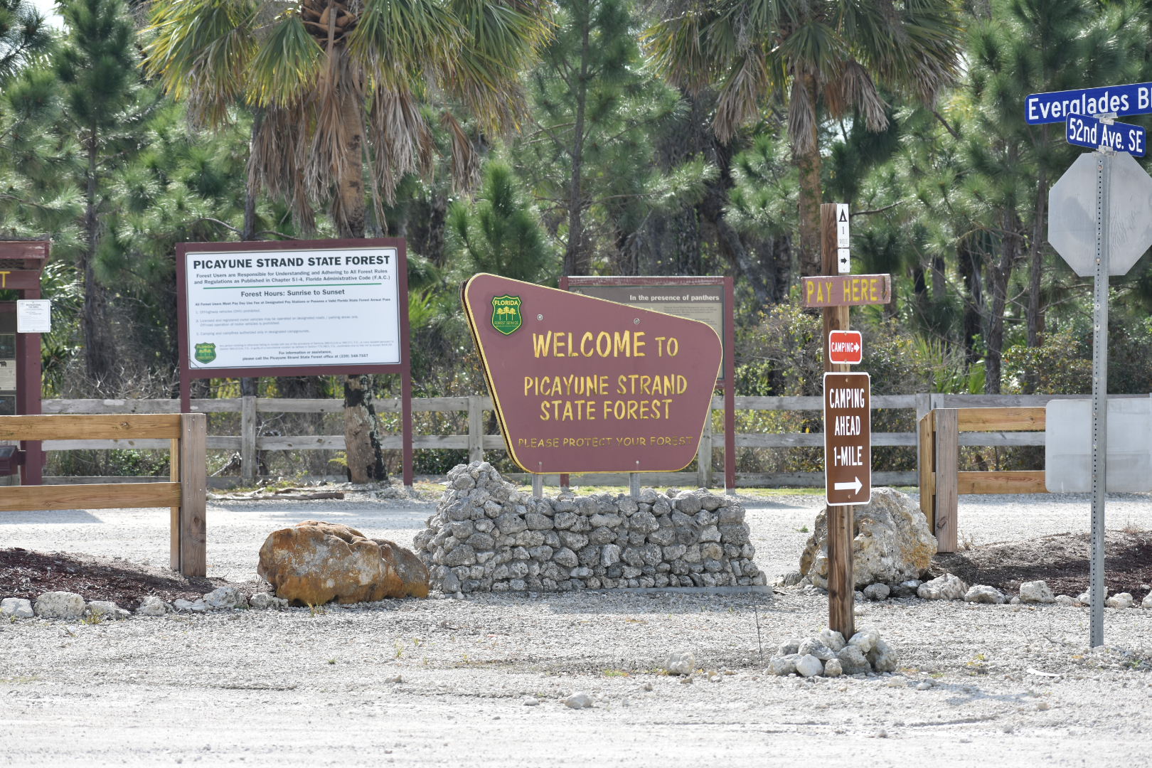
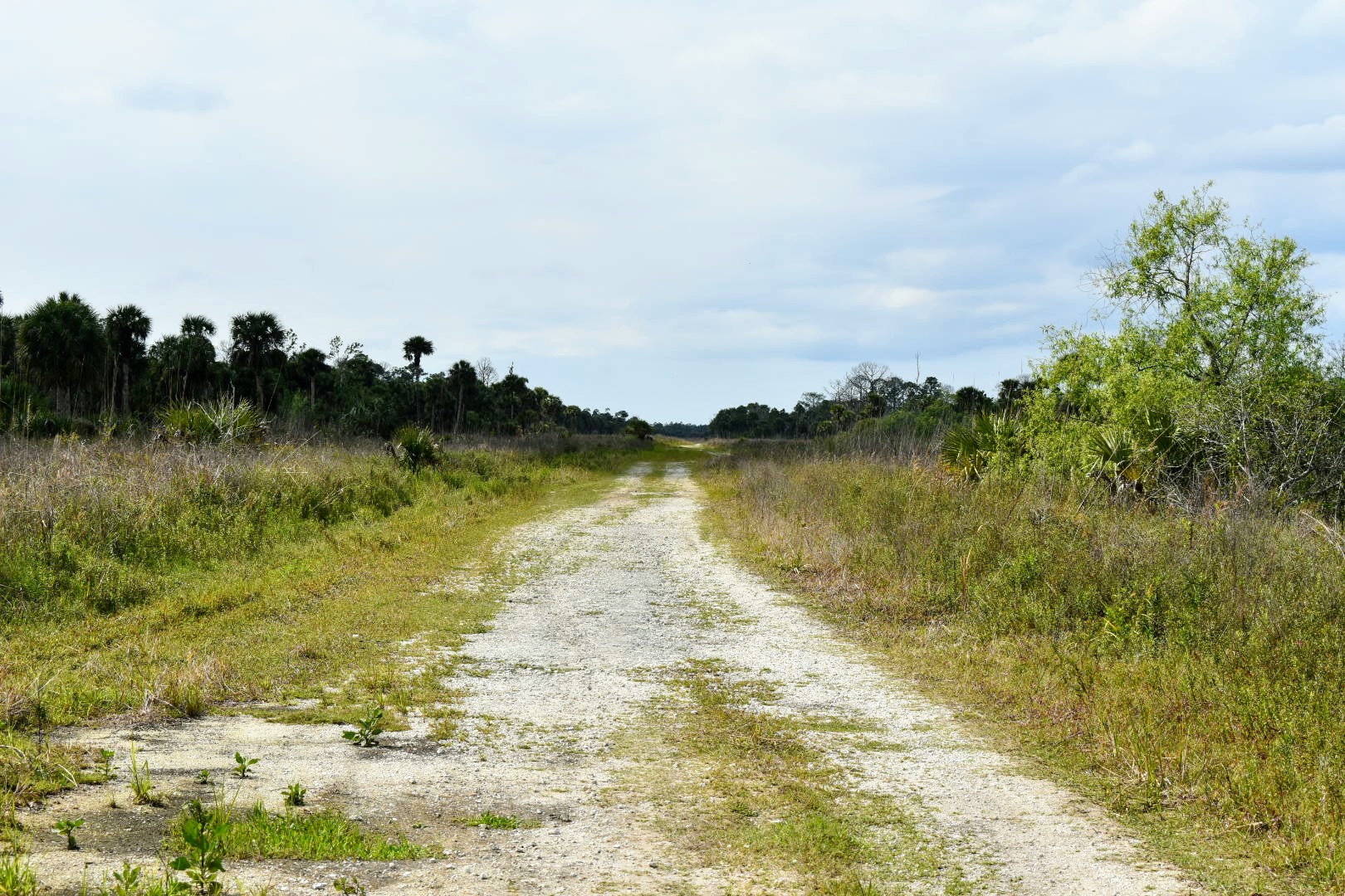
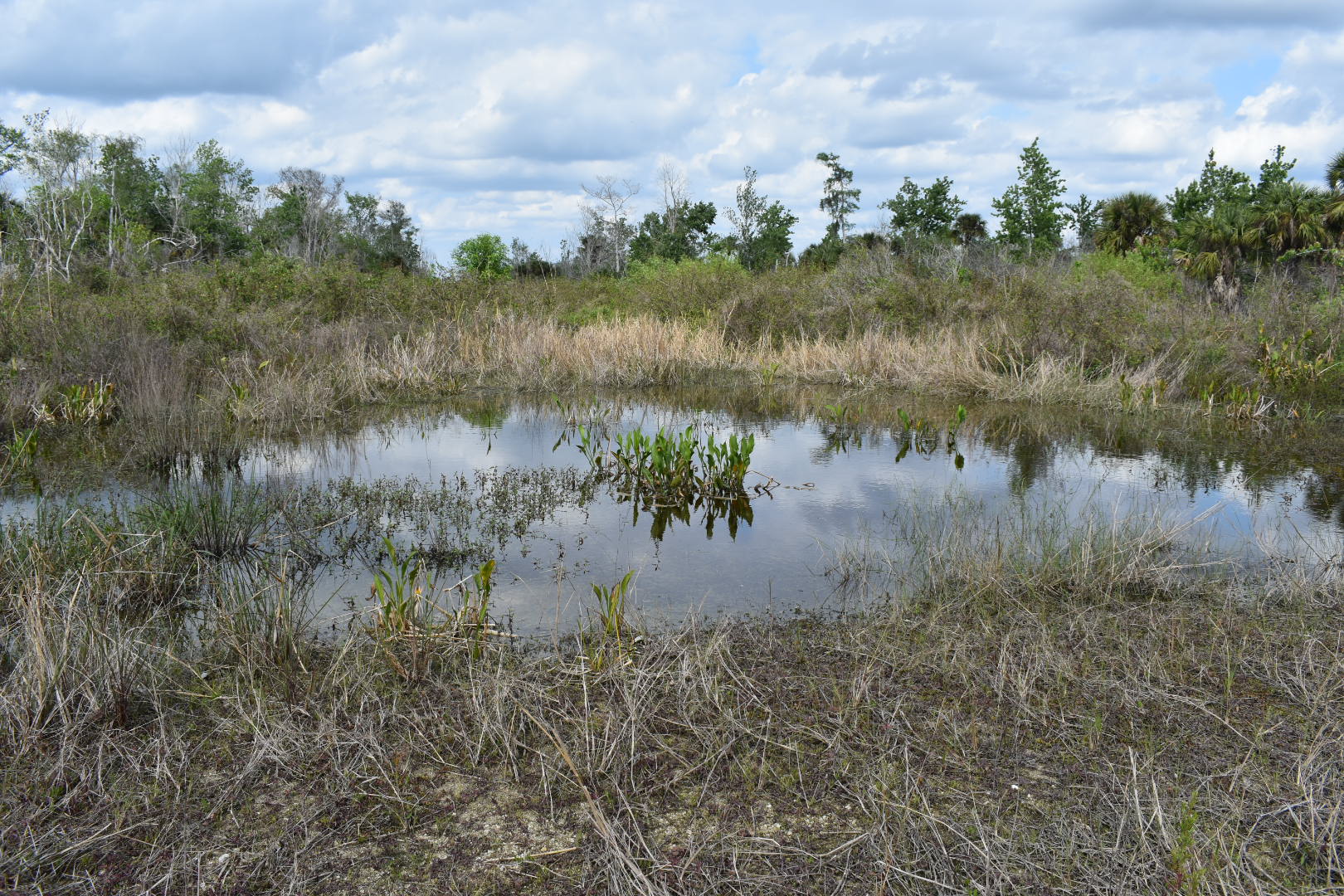
It’s a milestone day, I actually did something today. Spent some time driving around and checking out the State Forest. I drove down roads that were laid down fifty to sixty years ago, and then left, long forgotten.
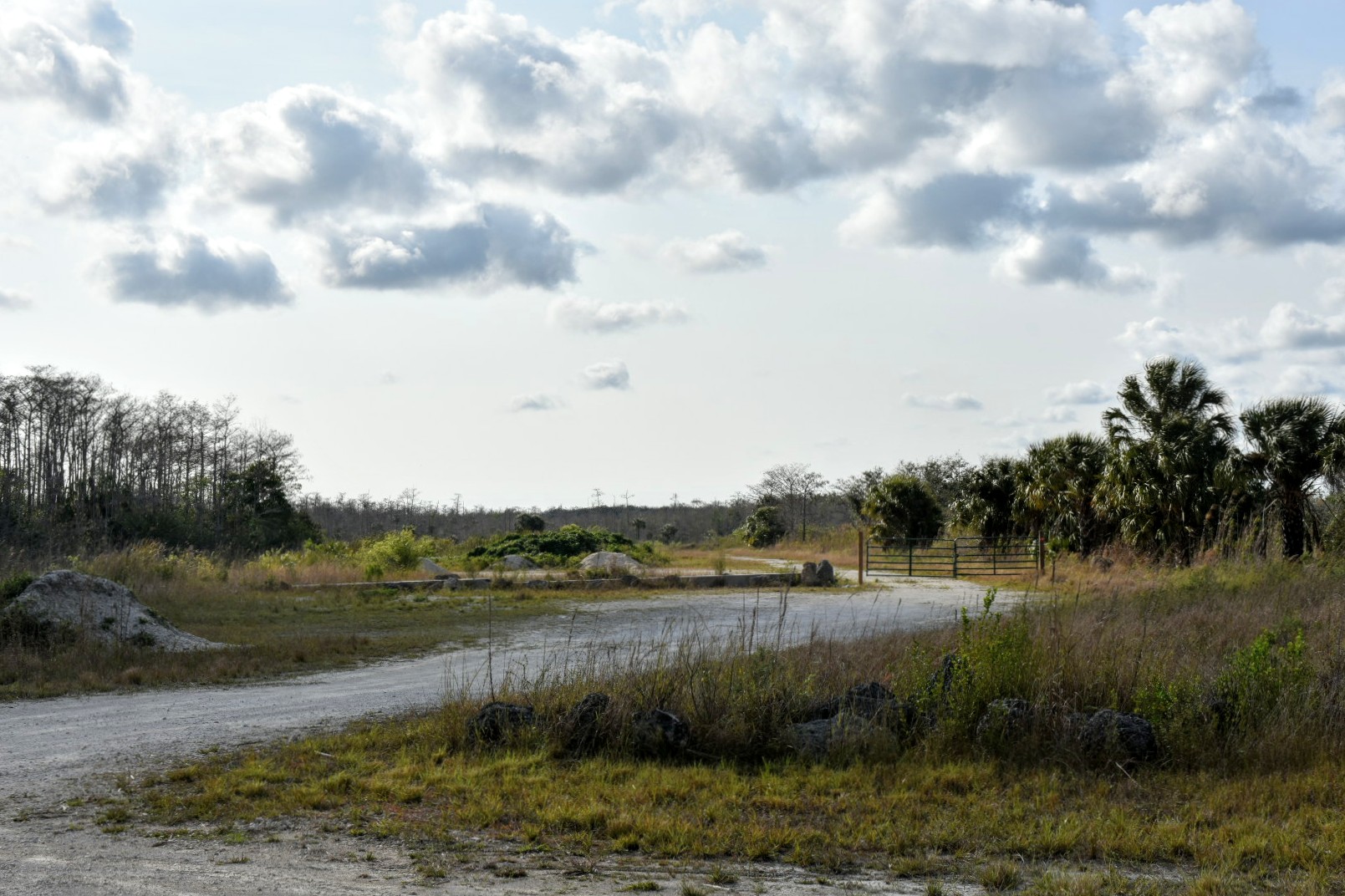
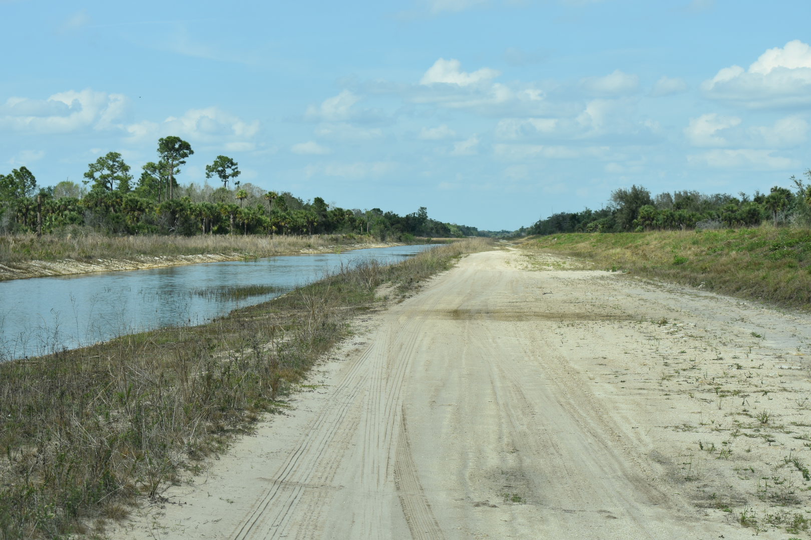
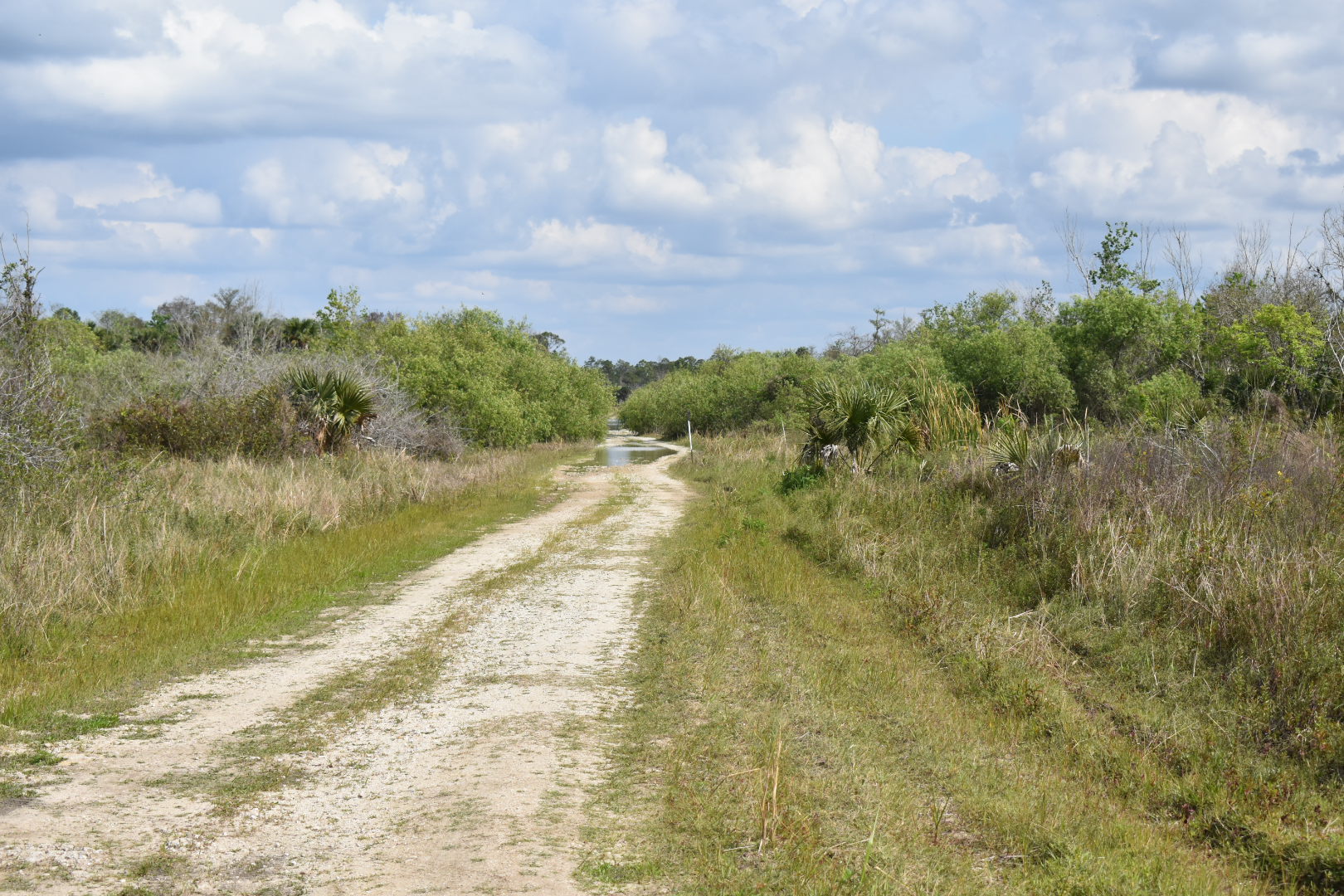
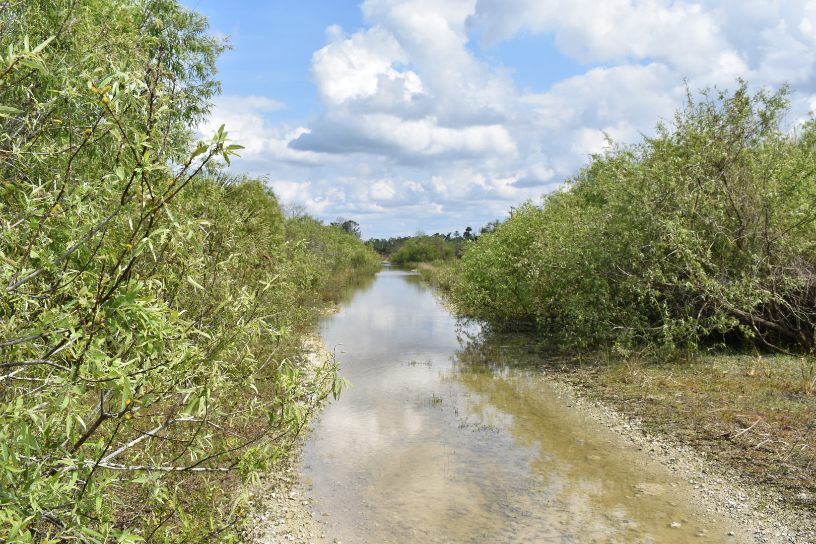
Lets see what a glimpse of the Picayune State Forest looks like;

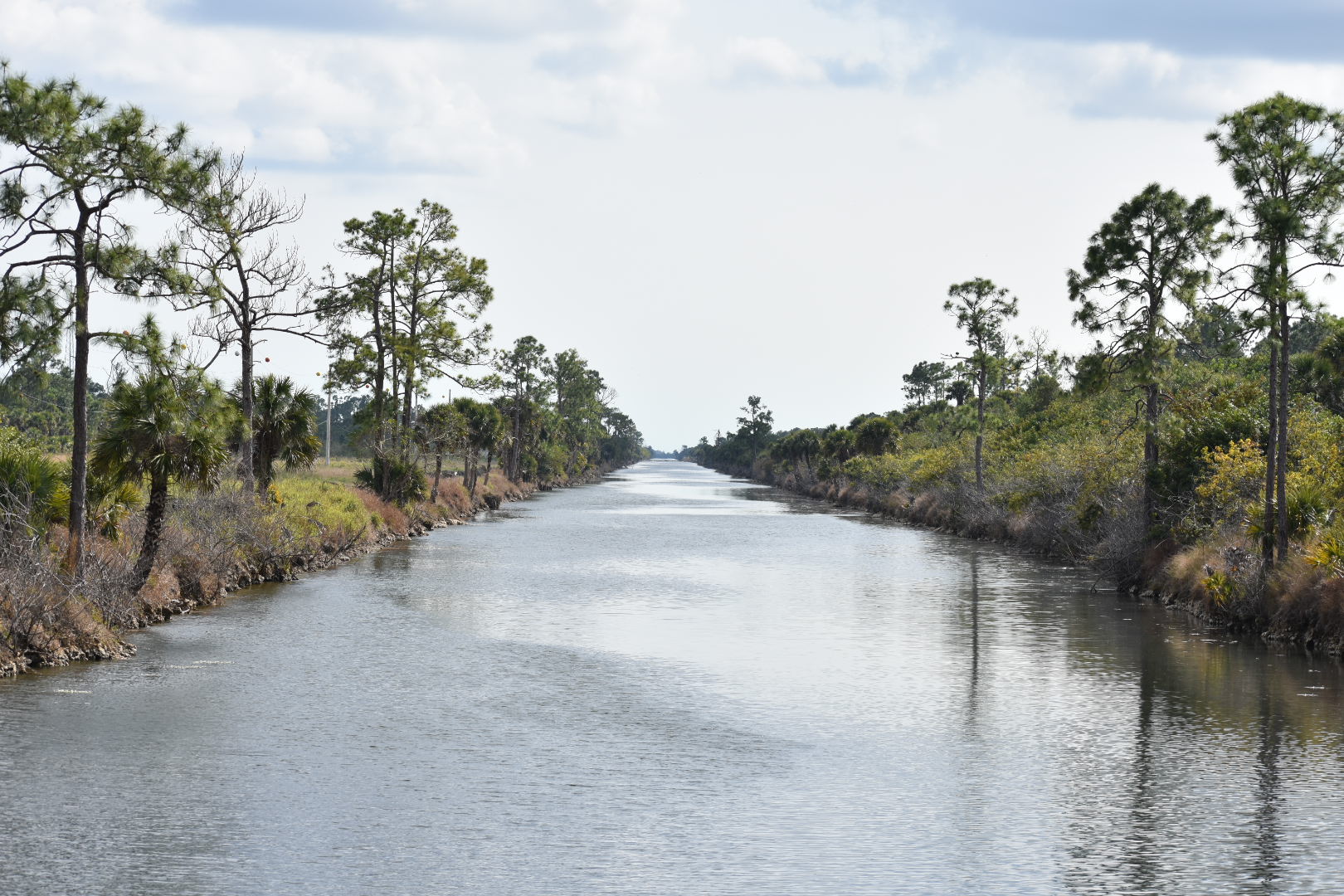

I was trying to see if I could use the original street layout to get through the Picayune Strand State Forest, and into the adjacent Fakahatchee Strand State Preserve, and finally the Big Cypress National Preserve. Gave it a good effort but in the end, stopped by water.


Made it back to the starting point, and I still wanted to see the State and National Preserve. I googled in my destination, and dutifully followed instructions. According to google, we were going to be taking a much more pedestrian route to the Preserve’s.
There’s not a lot of roads in the area that go through, so I ended up taking kind of a long route to get to the destination. Starting out from the Golden Gate Estates, the single family homes faded into tomato farms, pasture land, and even an orange grove or two. All along this first stretch of road I felt like I was ‘riding on the fence’. Development on one side, and agricultural on the other. As I drove past a couple of fields growing tomatoes, there were two tractors going down the rows, spraying what I deduced to be some kind of herbicide, or pesticide, or hell, maybe both. It didn’t give me a good feeling seeing that. Further east, the fields yielded to scrub land, and with a big sigh, we were back in the wild.


Along the way went through a number of areas with signs proclaiming panther crossings. Along with the signs, there were 10′ high chain link fence running unbroken along both sides of road. Not sure how its connected with panthers. I’ll need to further look into that. The road brought me to the State Preserve, thought about taking the ‘Scenic Route’ that runs through it and seeing if I could get back into the Picayune. It’s an eleven mile route, and if the beginning was any indication, it’s a really bumpy & slow ride. Time was running against me, so I had to put doing this back up on the bulletin board for a later date.

Also, didn’t get time to go into the Big Cypress National Preserve, I wanted to get back before dark. I took U.S. 41 back and found it to be a enticing drive with some ‘wow’ views. Enjoyed seeing the large swaths of grass marshes surrounded by water, and all of it framed by stands of pines and palms. It felt to me like I was seeing the beginning of the everglades.
U.S. 41, is two lanes and busy, and it seemed all the good photo shots were on the wrong side of the truck, and on the side where I could have gotten some photos, the sun washed everything out. Taking photos on the go can be a great way of getting pictures, it can also be one of the most frustrating. Today was frustrating.
I came back going through the southern suburbs of Naples. The closer I got to Naples proper, the more man’s imprint could be seen. The ‘Deed Restricted’ communities, The Golf & Country Club estates, The “American Dream” theme park feel, but surprisingly, not a lot of commercial development (yet). I just don’t appreciate it. I see it as an assault on the environment, with no concern to what damage it may be causing.
Sunny sky’s, high of 80, and the opportunity to make some great memory’s yea, it was another good day.
