DAY #31
Plan for the day was to go to Camping World and then meander around the area ending up at Fort Pickens, FL. I Left a little after 9:00 a.m. with blue sky’s, temperature in the upper 60s , and a song in my heart (not really, just like how that sounds). The Camping World was located about an hour away from the park and in the same direction that I wanted to check out so it fit in just fine. Getting there included going through Pensacola. I took a little detour and quickly checked out the downtown area. Was kind of expecting to find an another ‘shadow of the past’ area, instead what I found, was a historic downtown district that is quite the charming and attractive place. I’m going to have to come back and spend some time and take some photos.
Leaving Pensacola I crossed the bay and got on US 98 heading east, making my way to Camping World in Gulf Breeze. The drive down US 98 left me with the same feeling I’ve had on other drives along the gulf. Everything is so developed, It leaves you feeling you’re driving through suburbia rather than being in “the sticks” (I much prefer”the sticks”).
Made it to Camping World. I bought a cover for my front trailer jack. I had put the old one on and it blew off going down the road (My cousin Mark told me this would happen, but would I listen). Another purchase was a jack stand extender so that I won’t have to extend my jack stand so much. It works like using blocks of wood underneath the jack only this one is plastic and one piece. I’ll check it out at the next campground.
After my purchases, I went to the service counter find out how often I need to grease my wheel bearings on the trailer (answer: 5000 Miles or Yearly). The service I got was immediate and answers spot on. Camping World gets a really bad rap in online forums but I have only good things to say about them (so far).
After leaving Camping World, I Crossed over to the outer island and began making my way back west to my final destination for the day, Fort Pickens, FL. I’m amazed at the amount of development I saw. I thought by looking at the google map, the island would have been devoid of pretty much everything, instead, It was developed from one end to the other and were talking big, big condos. My salvation to all of this was that by getting to approx. the middle of the island I would arrive at the National Gulf Seashore and get a break from the endless developments.
While that didn’t work out so well. I came to the park and surprise surprise, the road was closed. according to what I read (went online, wanted to know why), the roadway had been damaged during Hurricane Michael. I’m a little skeptical, I didn’t see any other damage in the area, but I guess why would they make that up? So, I turned around and back tracked through the area I had just come down. It looked the same going back as it did going forward, development, lots of big development.
There are small patches of land and beach remaining (set aside) that allows the average Joe access to the water and Florida’s beaches. They do have a special and unique look and feel. 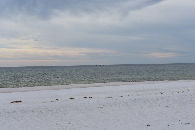


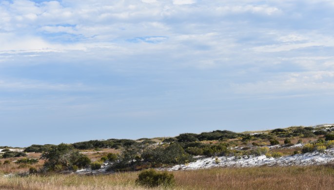
Made it back to my starting point and began plan B. I made it back onto the outer island and just for the hell of it, I wanted to see if the National Gulf Seashore was closed from this side of the island. Long story short, it was. So, I turned around and headed on down the road until I made it to Fort Pickens on the western tip of the island. It’s interesting, most of the island is composed of sand, and sand, and more sand, but as you get closer to the fort, the island reaches its widest width and the pine trees decided to call it home.
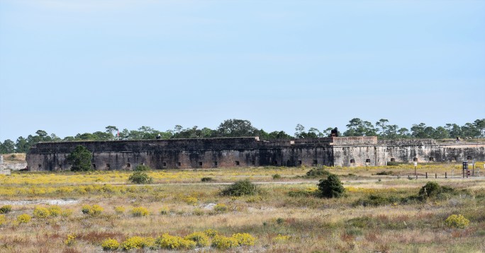
Fort Pickens was an active U.S. military post from 1834 until 1947. Millions of bricks were used in the construction of the fort, and the work was done (in large part) by slaves. The fort saw some limited action during the civil war and always remained under union control. After the Indian wars in the west came to an end, Geronimo was held for a period of time at Fort Pickens.
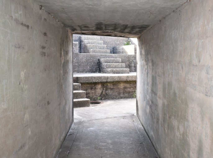
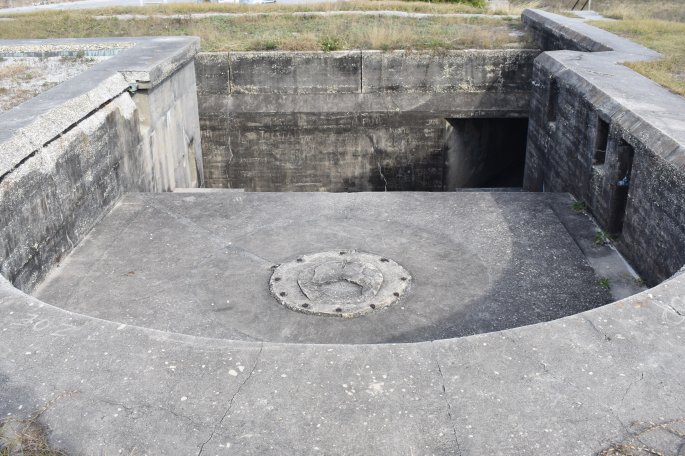
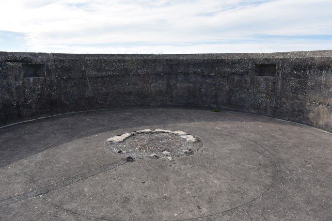
One of the batteries. This was the last one built and it’s away from the main fort
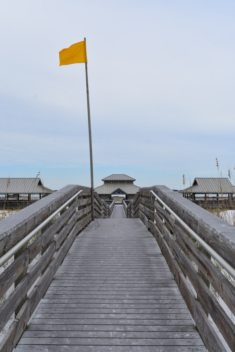
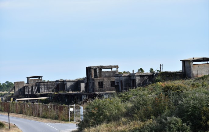
This is what you see after coming out of the trees and approach the entrance to the fort.
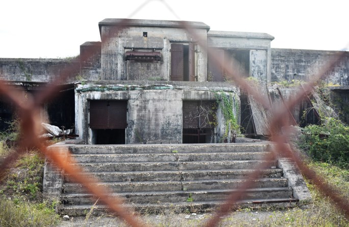
Fort Pickens. 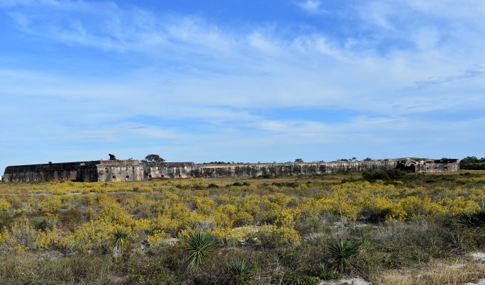


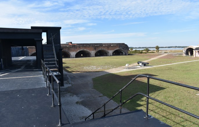
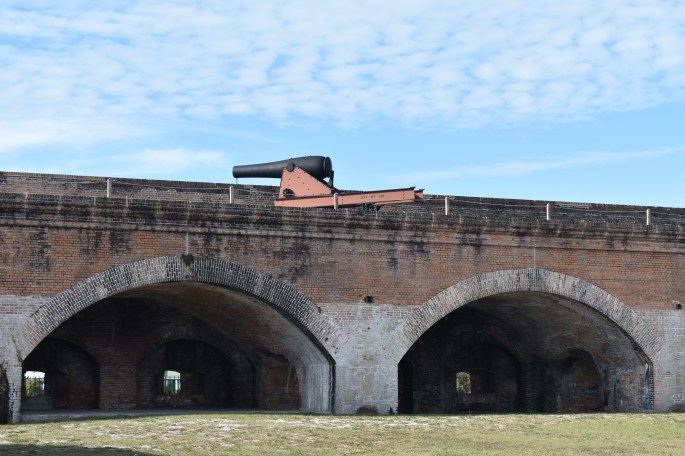

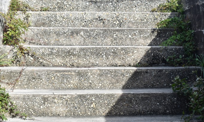
Some photos of the different batteries (gun placements).

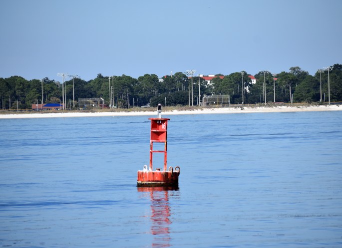
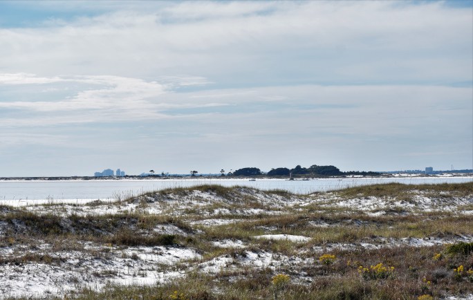
View of the gulf from a gun battery.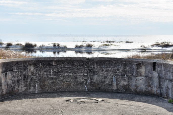

View of Pensacola Bay.

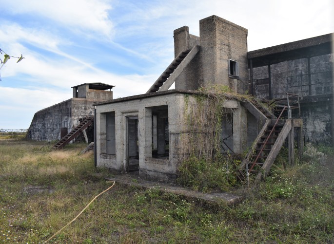
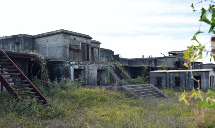
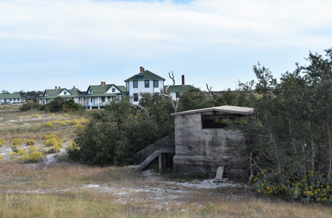
Some of the buildings that made up the fort (I believe these are replicas).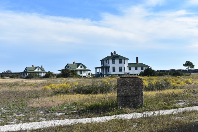
“While not a “blow your mind” day, it was a fun day. I enjoyed being out in the really nice weather and the fort was interesting. I got to see the gulf and one of the outer islands up close and personal, warts and all.